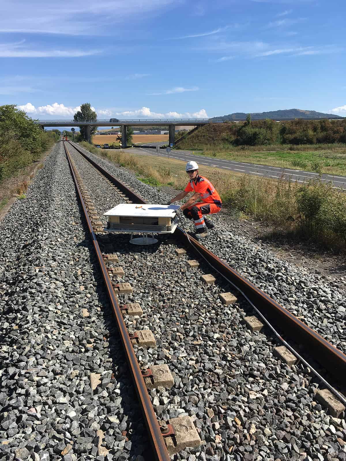
4DShape is an all-in-one solution that uses a flexible chain of 3D inclinometers to monitor the relative movement of vertical, horizontal, or converging profiles in soils and structures.
It’s a relatively recent innovation based on MEMS (Micro Electro Mechanical Sensors) technology, and it provides an efficient, effective, and optimized solution for many applications.
4DShape: Chaining 3D Inclinometers
The 4DShape solution comprises a series of rigid unit lengths called segments chained together using joints that allow rotation but prevent torsion. Each 4DShape segment contains three inclination MEMS, a microprocessor, and a digital temperature sensor. Segment length can range from 200 mm to 1 meter, providing a much higher level of accuracy than is possible with conventional inclinometers.
The length of a 4DShape installation depends on the application but can range from a few meters to 150 meters.
It can be installed in vertical, horizontal, or converging configurations.
Its robustness, compact size, high measurement resolution, and accuracy make this the essential solution for drilling operations, building outer walls, and tunnel/pipeline inspection.
4DShape's Applications
Its versatility of installation means that 4DShape has many different applications.
The most frequent are:
- Automated measurements of boreholes
- Tunnel and gallery convergence measurements
- Settlement measurements along horizontal profiles (embankments, rail tracks, etc.)
- Deformation measurements of vertical structures (walls, columns, etc.)
The 4DShape Solution Provides:
- Real-time access to accurate data
- Up to one measurement every 10 minutes per inclinometer chain
- An adaptable solution: measurements for buildings, linear infrastructures, and subsoil projects
- A long-term solution requiring little maintenance
- A tailormade warning system, when used in conjunction with the Gesocope online platform


