Hampton Roads Connector Partners (HRCP) Geophysical Survey
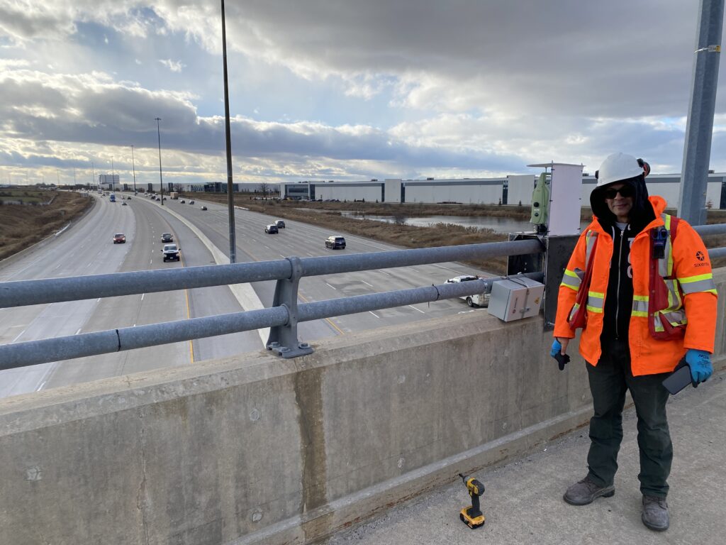
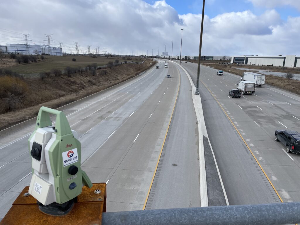
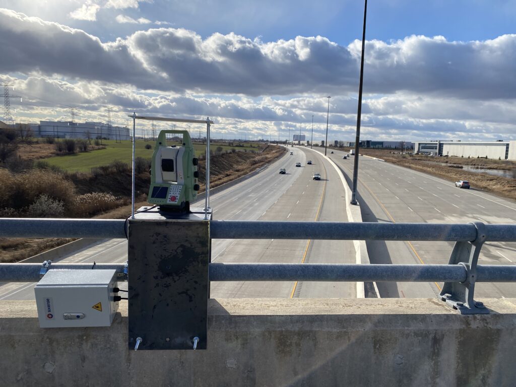
This summer, Sixense teams worked hard to conduct a geophysical survey to unearth revelations and insights at the Hampton Roads Bridge-Tunnel (HRBT) project., situated on the South Island of the HRBT in Norfolk, Virginia.
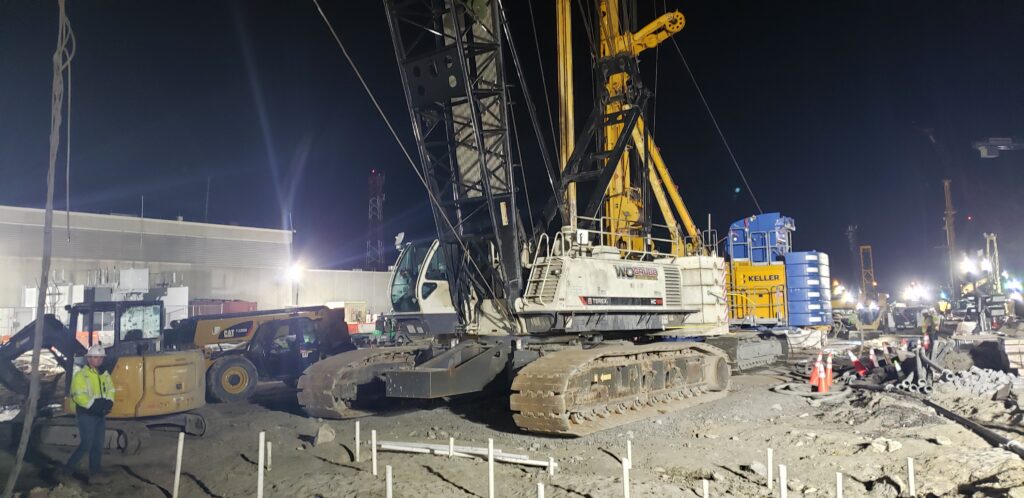
Sixense’s scope of work included employing the borehole magnetic method to detect potential steel obstructions buried beneath the ground on the South Island of HRBT. This was conducted in collaboration with Hampton Roads Connector Partners (HRCP) to ensure proper and safe construction works by testing the areas along the tunnel boring machine (TBM) alignment that could clash with future excavation.
How does this obstruction detection method work?
It capitalizes on the ferromagnetic properties of reinforced or steel foundations generating relatively strong magnetic fields. By our team meticulously analyzing these signals, our dedicated forward modeling tools provided invaluable insights into the depth and location of buried steel structures.
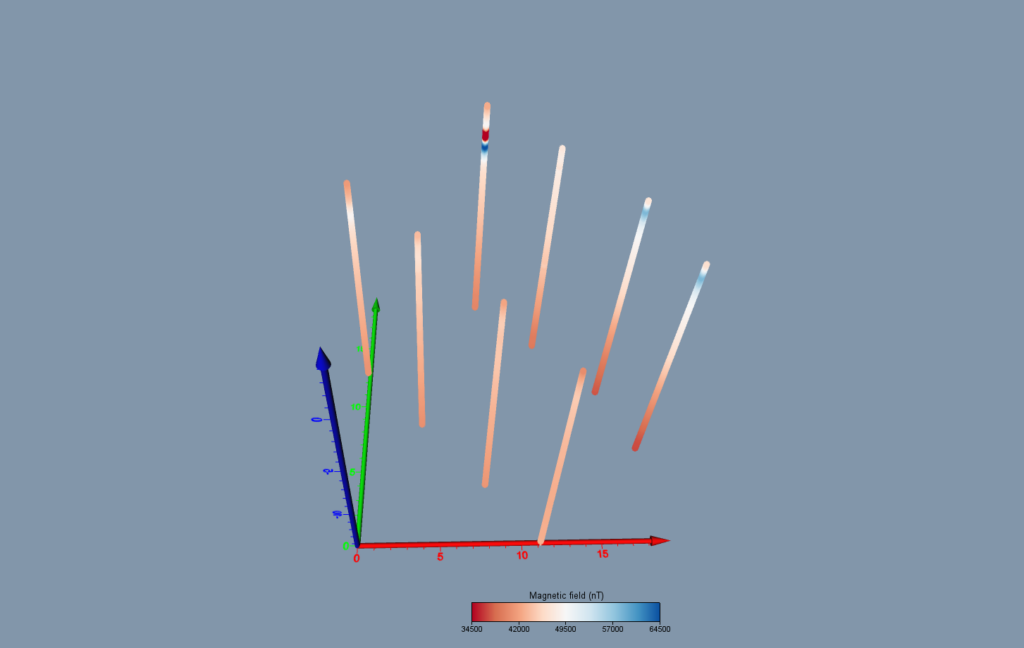
What did we uncover during the Geophysical Survey?
This geophysical survey, spanning 43 boreholes across three distinct areas (STPL128, STPL122, STPL121), revealed clusters of magnetic structures, indicating the presence of left-in GI casings and settlement plates & rods. While the survey was focused on the soil layers above the future TBM excavation line, the risk of finding steel obstructions at the TBM depth was considered very high to certain.
Therefore, by drilling deeper additional holes and investigating further, we were able to provide more clarity on the extent and nature of these potential obstructions.
Surveys like this can offer big revelations, and by addressing potential obstacles early in the process, Sixense can help ensure a seamless execution of critical infrastructure projects.
Stay tuned for more updates as we continue to push the boundaries of technology in service of safer, smarter practices! You can also learn more about Sixense’s role in The Hampton Roads Bridge-Tunnel Expansion by clicking here.